Desert Life!
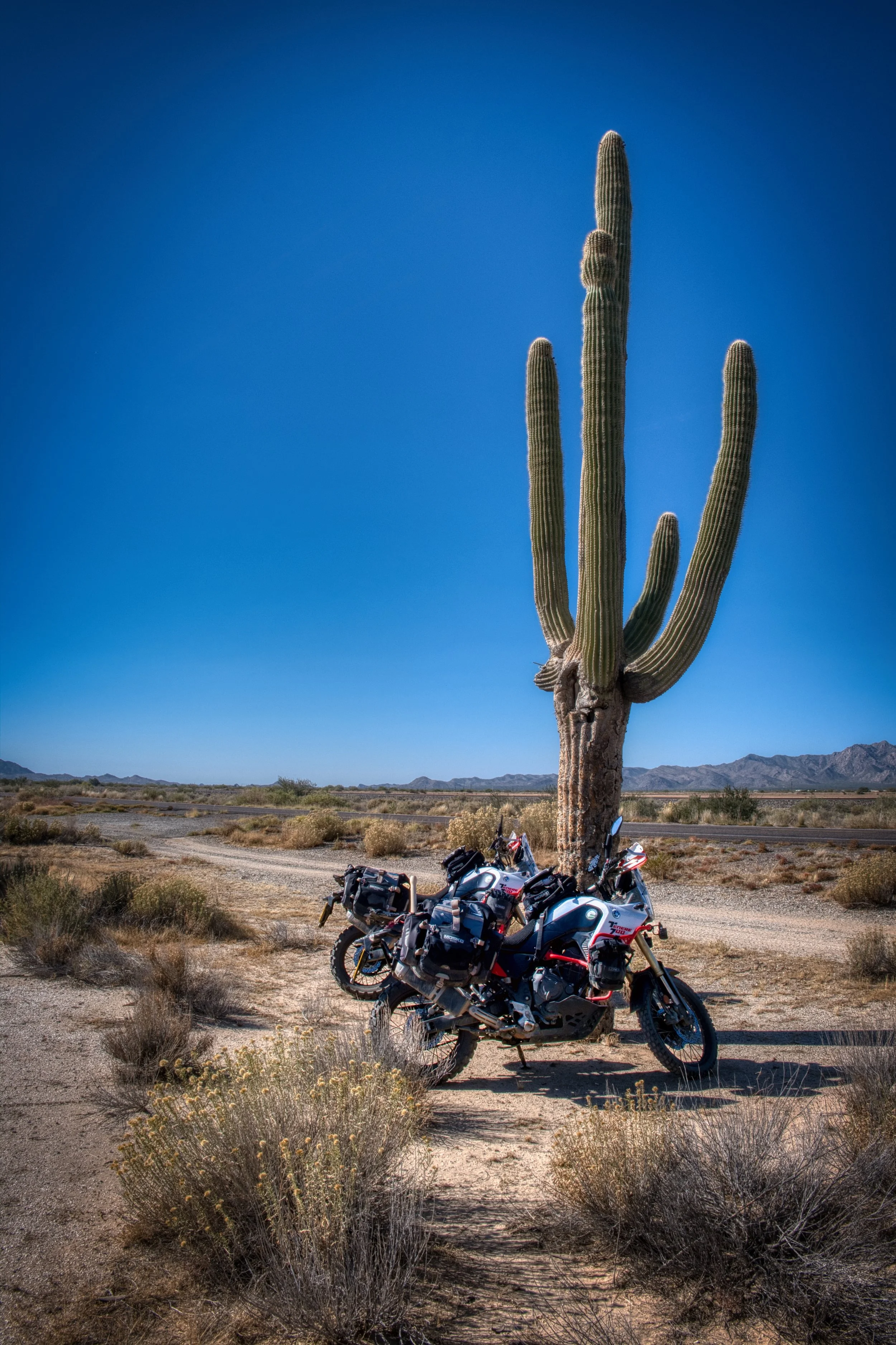
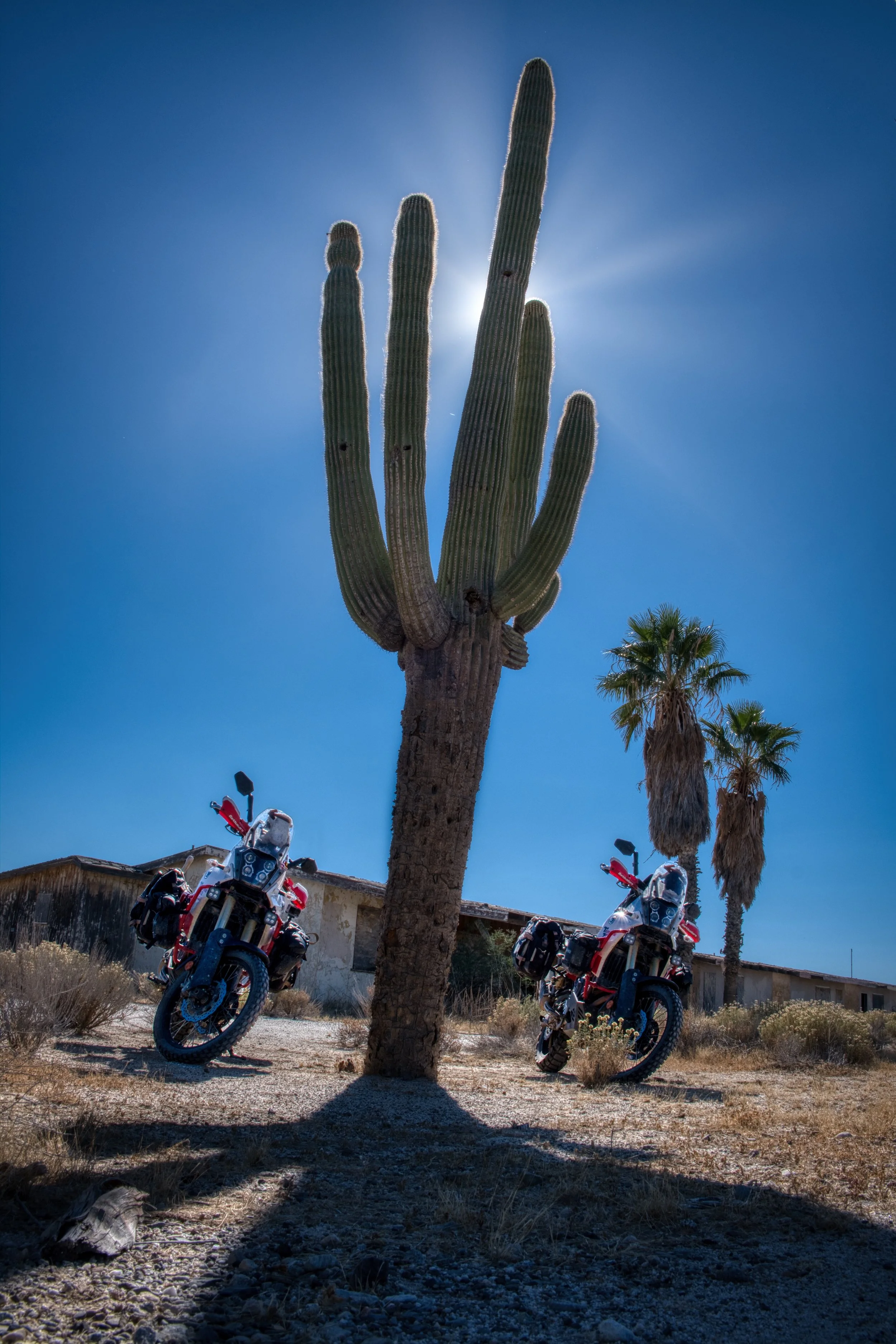
From Cottonwood, we headed south-west in to the Arizona desert and found a cheap state-run campsite called Centennial Park, just outside Salome. The primary draw is it is the only golf course for miles, with lush grass for the tees, fairways and greens, watered by their own well. Due to the amount of contaminants in the well (primarily agricultural nitrates), the water is filtered using reverse osmosis; a process of filtering water by pushing through various membranes to trap contaminants and produce potable (drinking) water. A great process but the pressure pumps operated intermittently 24/7 and did have an impact on the otherwise silent, desert nights.
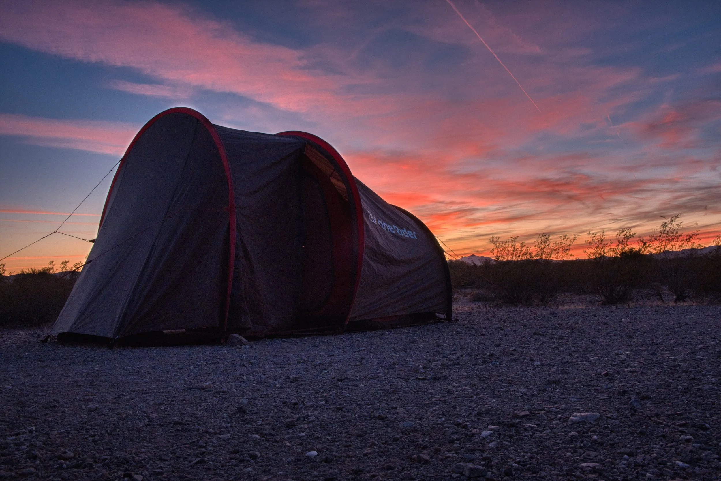
The desert sunsets are glorious
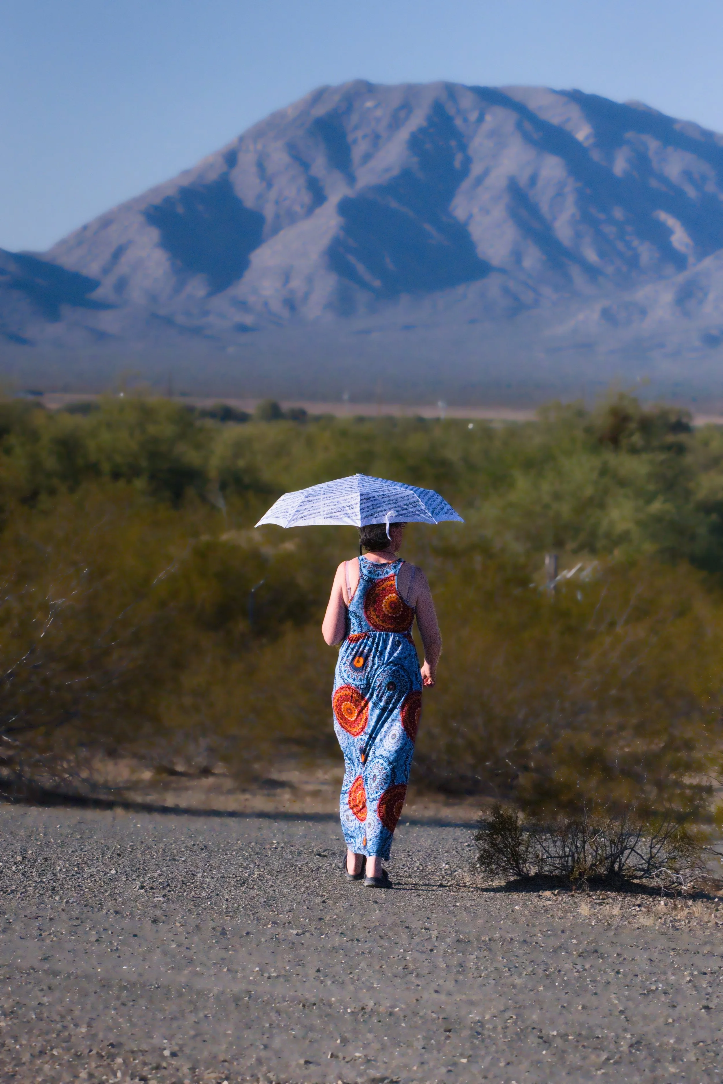
The sights and sounds of the desert where wonderful to behold and we were sung to sleep by the coyotes crying in the distant, with the occasional answer a little closer to the tent. Being of a certain age, Isi doesn’t tend to go the night without the need to use a bottle. Once used, the bottle needs emptying outside. On this particular night, Isi met a desert fox who had come in to camp to see what we were. Isi wasn’t sure who was more surprised. I just snored on, just to be told in the morning…
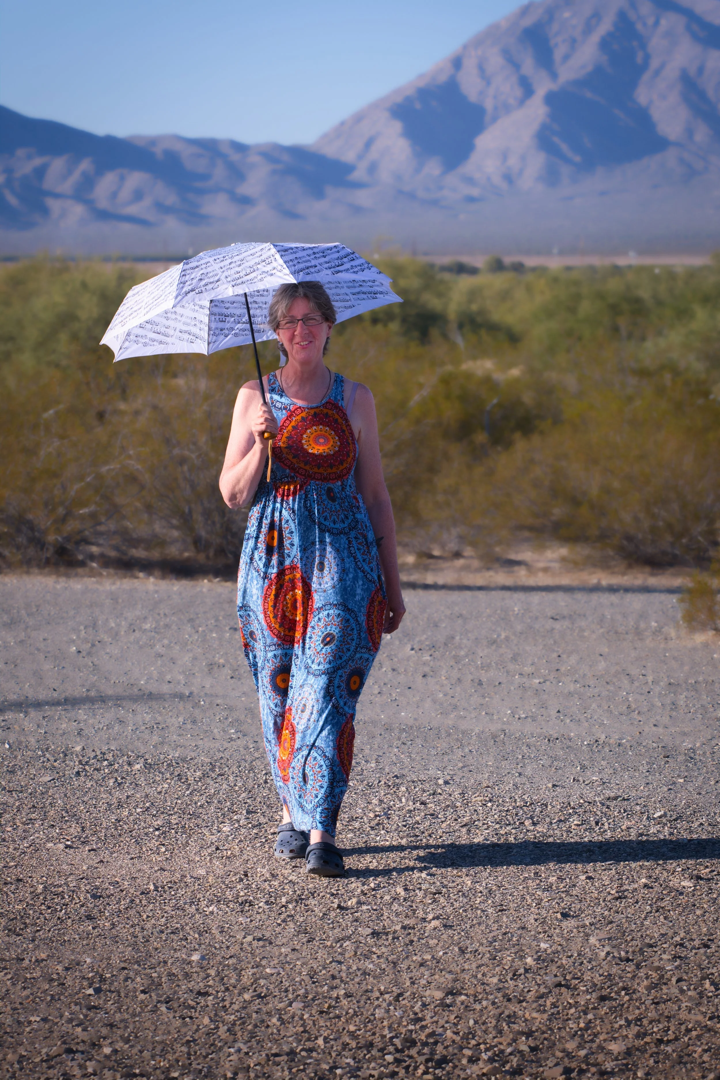
Isi taking a stroll
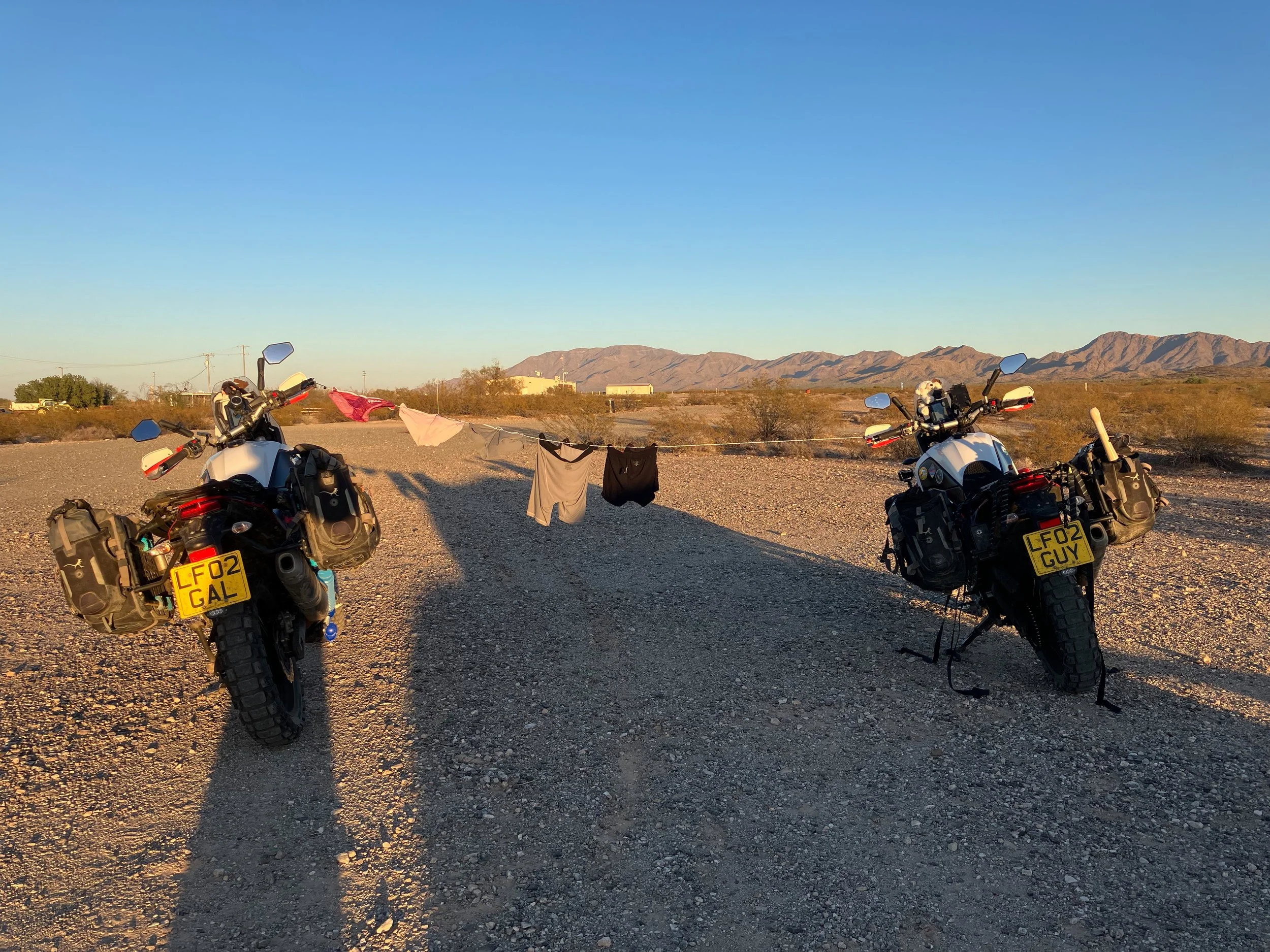
Dries quickly!
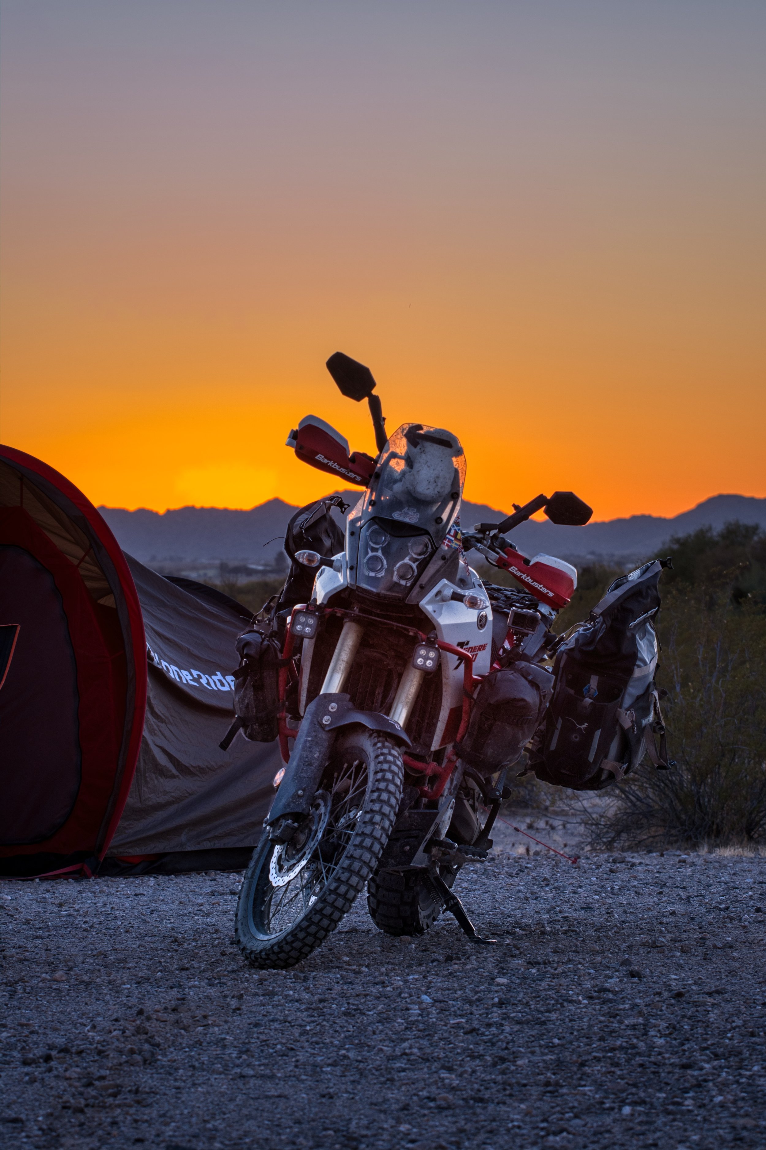
See what I mean about the sunsets?
Another stroll
Being in no rush to move on as we started ‘treading water’ to be in LA mid-December, we stayed on for a few nights and enjoyed the isolation of the desert. However, finding fresh food was a challenge. I headed in to Salome in search of supplies, visited 3 shops (only shops selling food) and returned with one potato. Apparently, the veg van visits once a week (twice when the snow-birds arrive) and we had just missed it. I still managed to create a meal and, no. it didn’t include mashed potato…
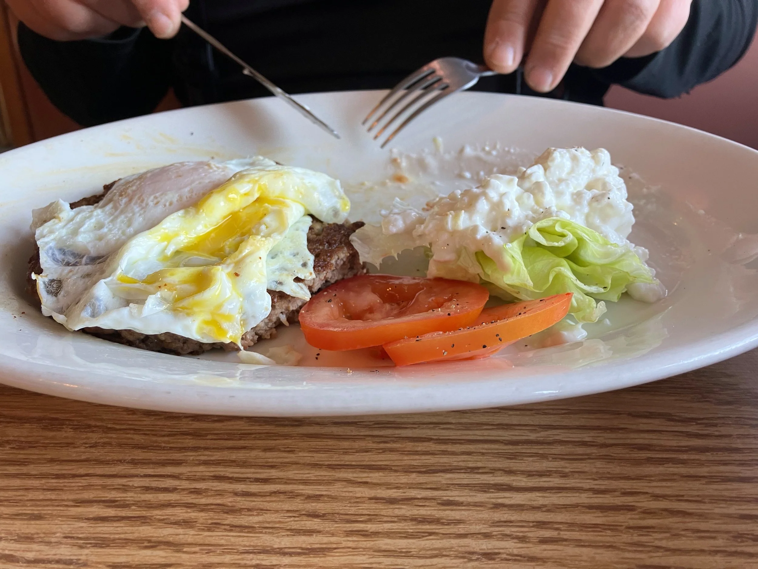
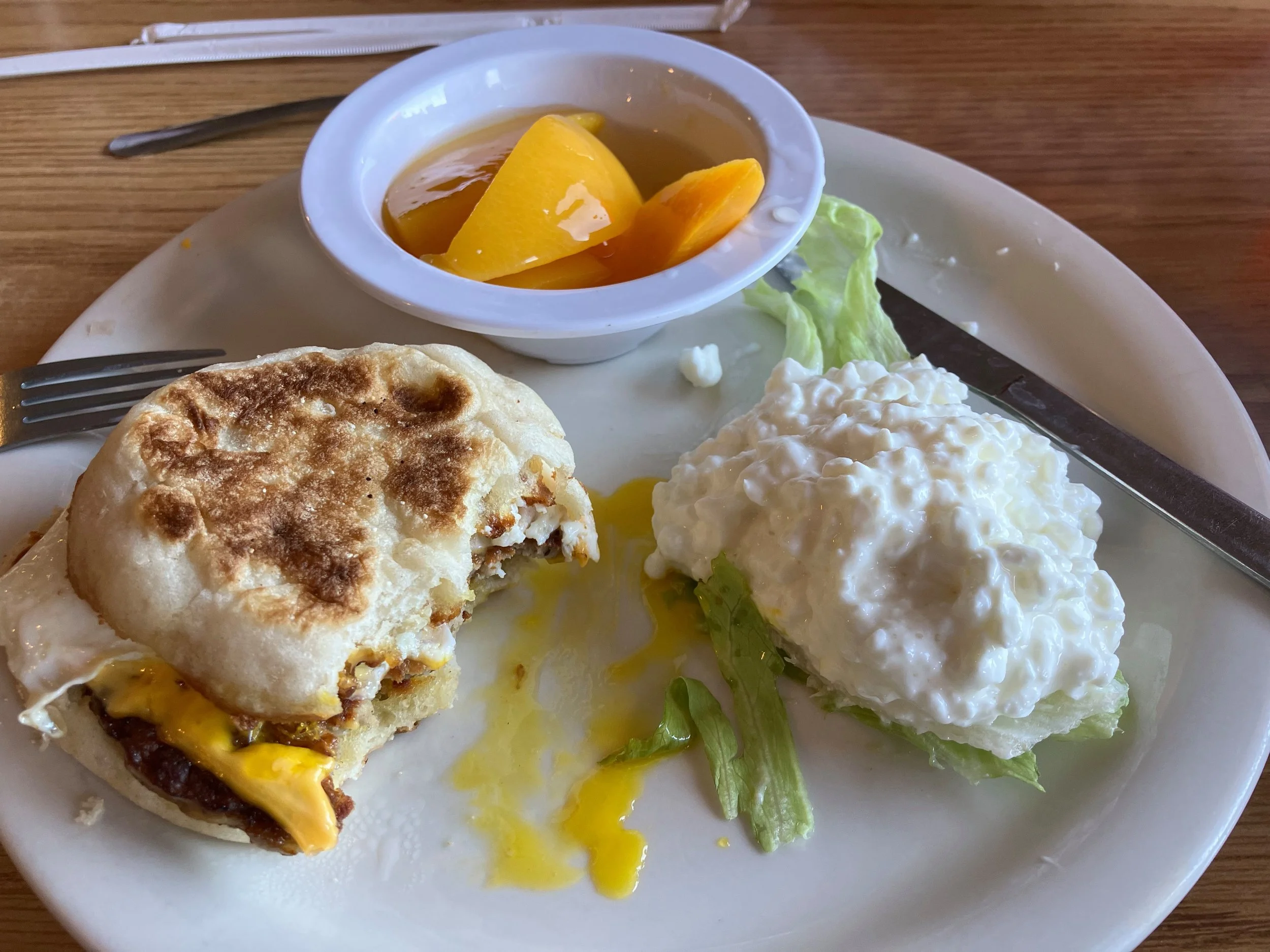
On Sunday, we decided to try out the restaurant recommended for breakfast or lunch. Pulling up outside and walking in was like visiting a movie set, with stalls full of locals of all ages and walls decorated in humorous and advertising signs from the early to late 20th Century. We were instantly made to feel welcome as we enjoyed a great American breakfast whilst we enjoyed our favourite pastime - people watching. The team running the restaurant were well known and respected within the community and the food was worthy of a 5 star Google review!
Don’t you just hate food pics?
The relic amongst antiques
See, told you!
Had to be done!
Criminal not too…
Finally, we decided we had to break camp and move on, heading south and east, further in to the Arizona desert. I had noticed on the map the old Gillespie Dam Bridge on the US Highway 80 and decided we would head that way, avoiding the main highways. As we neared the bridge, we saw signs telling us the bridge was closed and to find alternative routes. Realising the road was empty of traffic, we pulled in to a bar/restaurant to ask for alternative directions. The place was closed and as we hid from the sun to make a plan, a beaten up, old car pulled in and stopped. The guy asked if he could help but, as it turned out, he couldn’t as he hadn’t been in the area long. Really, what he wanted to do was tell me that he was here, living in his car as it’s the cheapest place he could live as his wife had taken everything. It was clear he had issues and whilst appearing harmless, I was still somewhat wary.
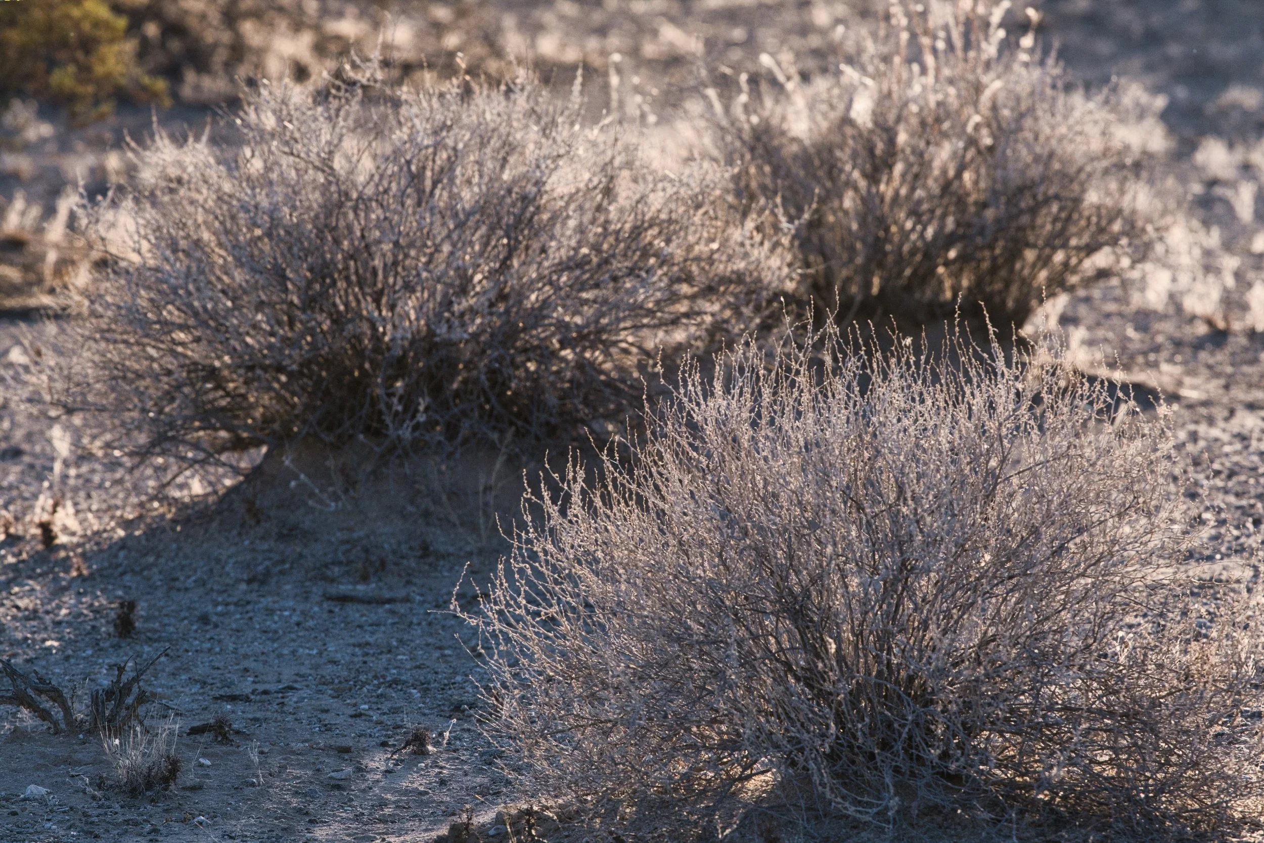
Tumbleweed without the tumble
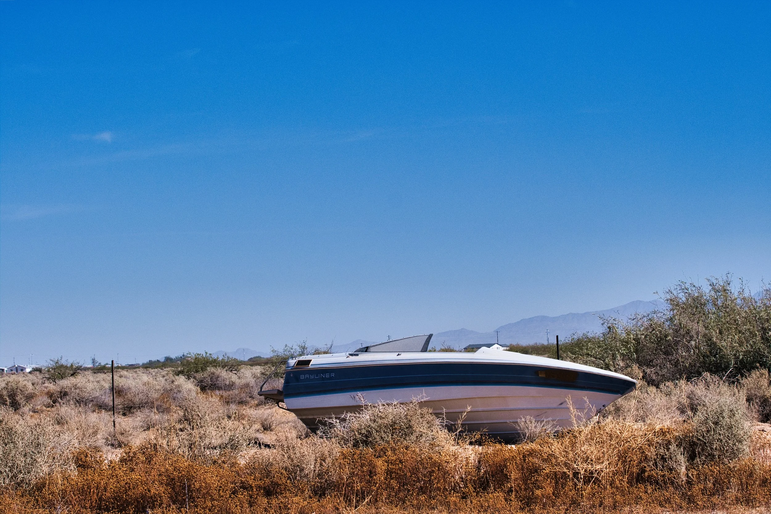
Speed boat without the water…
Since we had come this far down the road and we couldn’t work out a quick alternative route, we decided to press on and see if the bridge was really closed. As luck would have it, it was open and there were no roadworks happening. There were large water pumps lifting water over the river Gila dam, as the water level was too low to traverse the breach that had been created for this very reason. Water levels were generally low!
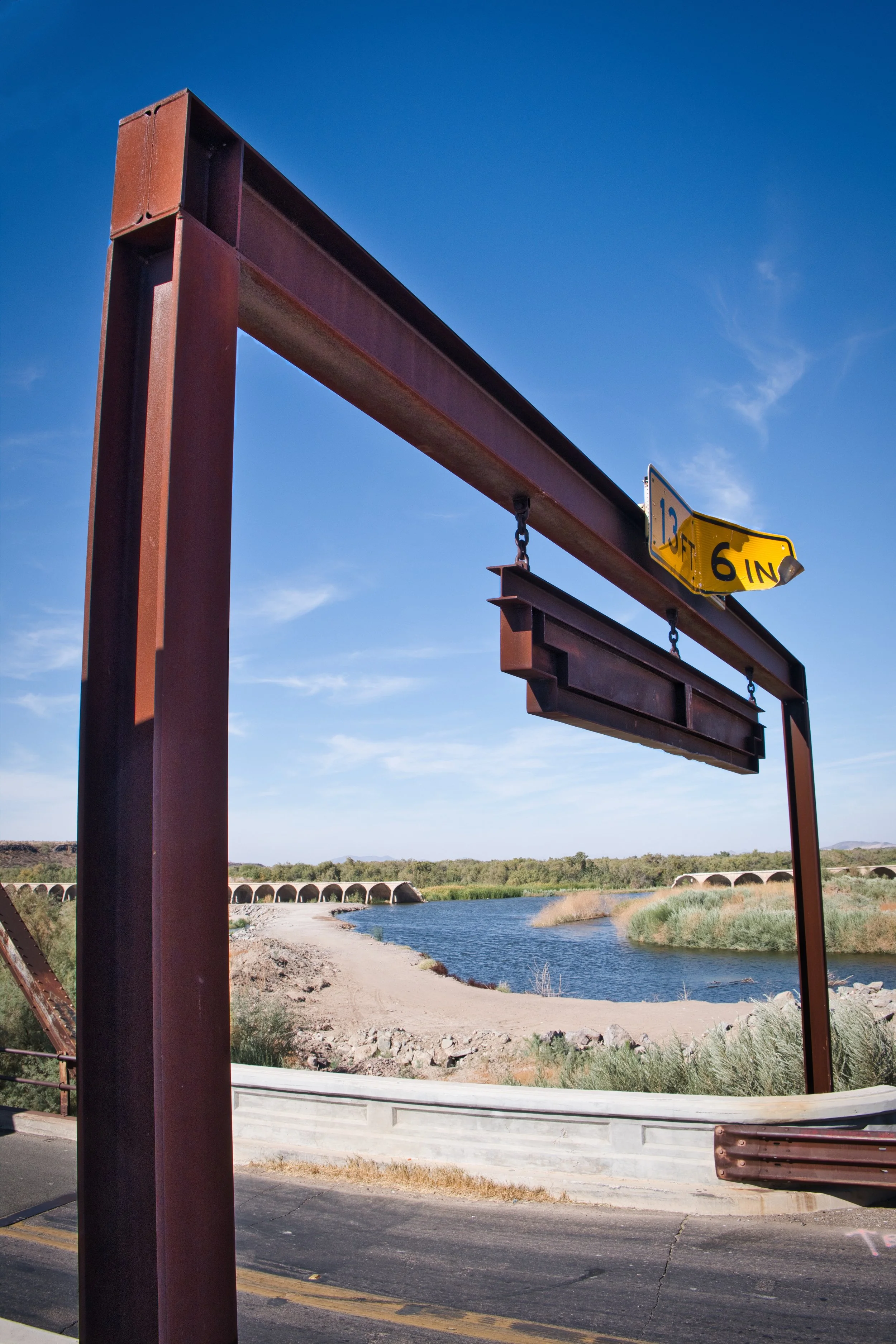
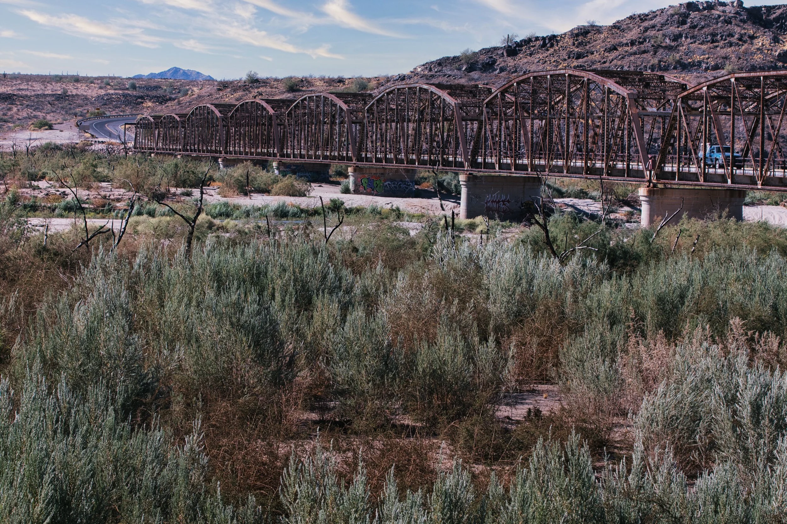
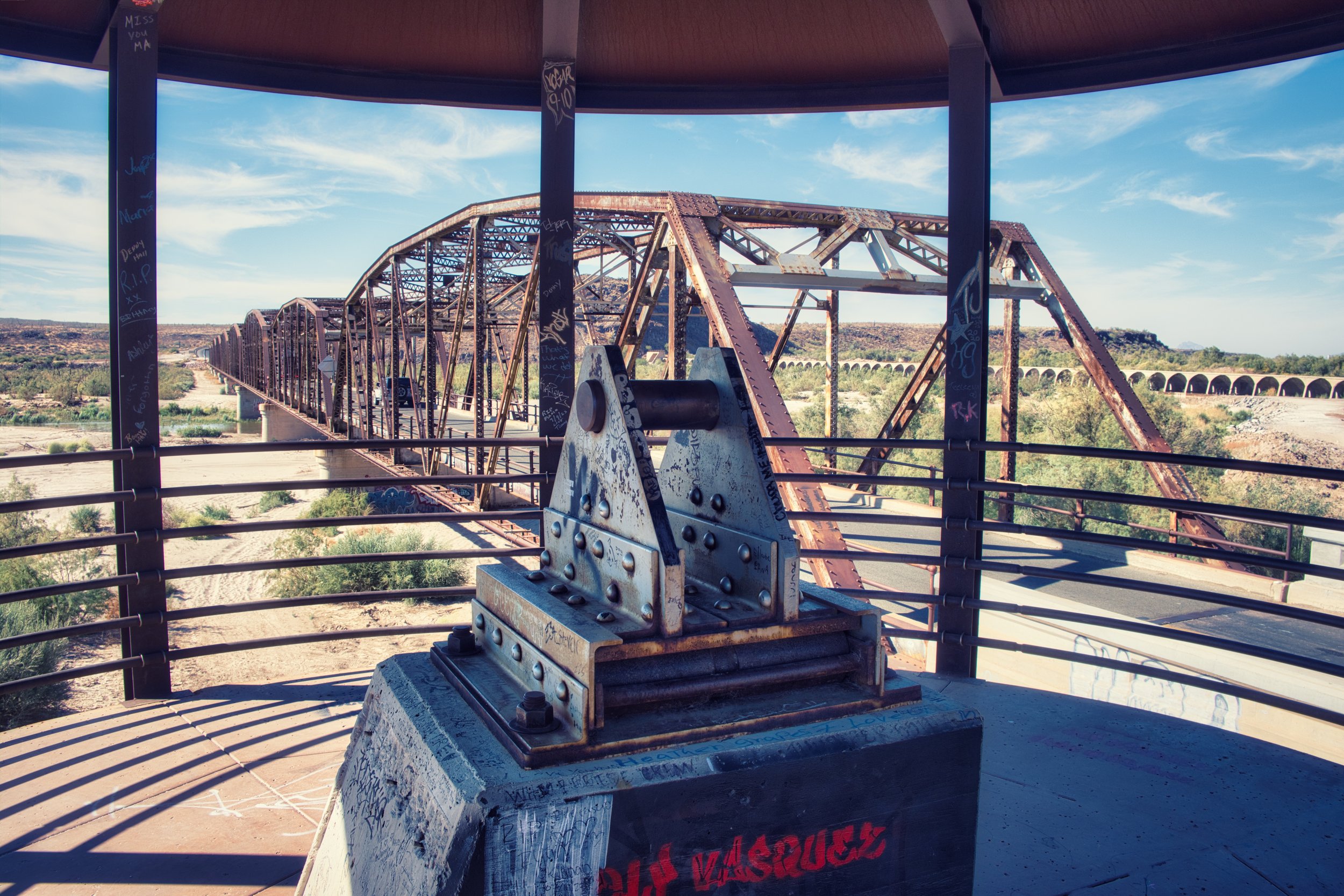
The Gillespie Dam Bridge is a through truss bridge replacing an older roadway that used to flood, just beside the dam. The bridge was completed in 1927 and considered old and historic. In 2012, the bridge was restored with a viewing platform and plaque to enable a good view and explain the history of the bridge. Unfortunately, the area has suffered a lot of graffiti and damage and whilst the viewing platform stands, you are unable to read the plaque. Still a nice place to visit.
Oops and oops
Ancient bridge
Viewing platform
As we were riding away, a roadrunner ran across the road and we both shouted! Me, because I thought they only existed in cartoons and Isi because it was the first time she had seen one. I was in shock as the whole of my childhood, the roadrunner was just a cartoon and now I had seen one for real! BEEP! BEEP!
Whilst the initial ride was through untouched desert, with vast expanses of sand and cactus trees, as we crossed the highway after the bridge, we soon turned on to a grid-work of smaller roads that marked the boundaries of large fields of green crops. Regularly spaced well-heads brought water from deep underground up to supplement the river water extraction ditches that would then be used to irrigate the fields. Man had turned the desert green and yet another example of why the Colorado river no longer reached the ocean. This tributary, the Gila River, would be struggling to replenish the ground water and river extraction by farmers and communities, before it reached the Colorado river at Yuma.
As if this wasn’t a shock to the senses, we smelt, before we saw, huge industrial sized sheds, full of hundreds, if not thousands of cattle. Living on concrete bases, with tin roofs to keep the sun off and surrounded by fields planted with crops to feed the cows, the best they could feel was the straw beneath their hooves and fenced in to allow them a view of what they could not attain - a green field. We had obviously heard of intensive cattle farms but this was the first time we had seen one. I’m a meat eater but I felt sorry for these guys. That’s no life!
The irrigated land continued in their grid patterned fields, interspersed with lines of blue, fresh water in their concrete channels of white, glaring in the bright sunlight until we reached Gila Bend, aptly named as the Gila River turns west at an almost 90 degree bend. Gila Bend appeared to have little to offer except a place to eat fast-food, refuel the bikes and decide which direction on the Highway to take - west toward California or south-east toward Phoenix and the Mexican border.
While we grabbed a fast-food ‘delight’ we saw a BMW pull up next to us and the rider dismount. Given the road-weary nature of the bike and rider, we figured this was another traveller and, indeed it was. He has travelled most of the Americas but is currently touring the USA and Canada. His week consists of travelling Fri-Sun, then finding a hotel with decent wifi, to log on and work Mon-Thurs. After telling us of his travels, he was off toward California and another hotel to work from. We never did catch his name, but wish him all the very best and love his solution between work and travel.
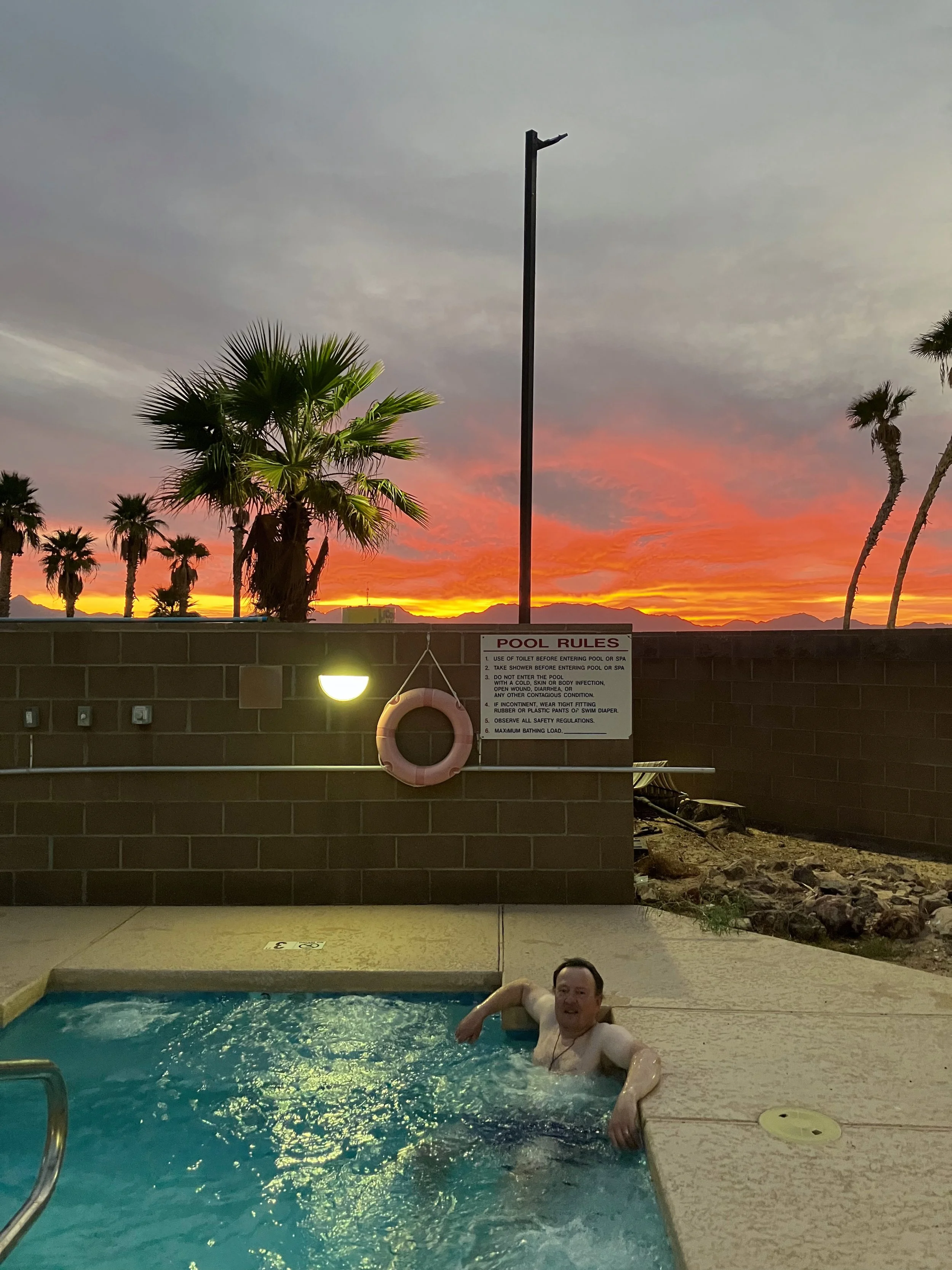
Having looked at the hotels in Gila Bend and decided this was not a good place to stay, we headed East to a cheap hotel in Wellton. Cheap it may have been but the pool was welcoming after the heat of the day and the area was safe for us and the bikes. While we were enjoying the jacuzzi and the light of the setting sun, we watched as a large owl landed on the roof of the hotel for a few minutes rest. That evening, it was pizza from a superb, if slow, local restaurant and, on the way back to the room, we marvelled at the skills of a helicopter pilot crop-dusting the field of lettuce. I assumed night was a good time, as the water/chemicals would not evaporate as quick and/or burn the plant. The pilot would pass one length at mere feet height, then sharply rise and turn to pass a length in the opposite direction, then repeat.
After two nights of rest and admin, it was time to move on. We decided to avoid the highway and take to the smaller roads, heading for the Castle Dome Mine Museum ghost town in the mountains beyond. The road was easy, with some wonderful, open bends through the foothills slowly climbing from the desert floor, then back down to the military Yuma Proving Grounds and alongside the Kota National Wildlife Refuge. Some areas were open to all traffic and trails led off in to the sand, whilst other areas were prohibited from access. We could see no reason why some areas were permitted but others not. This remains a mystery.
All the while, we could see a large, tethered, helium balloon hundreds of feet in the air. The kind you might see advertising a car showroom, but on a larger scale. It seemed we were heading right for it, as we turned off the paved road and onto loose gravel and deep sand patches. After what felt like ages, we decided this was too much for us and turned back, preferring the comfort of tar over the uncertainty of sand. At that time, it was the right decision but, retrospectively, it was a shame not to get to the ghost town. However, I console myself with the thought that the historic place would probably be covered in plastic Christmas stuff that would have detracted from the majesty of time and place.
Des Res
Masterchef
It was nearing lunch, so we decided to take a turn toward Martinez Lake and the Colorado river basin. On the way, the road passed the Laguna Army Airfield base and we watched army personnel doing parachute jumps and landing within a hundred feet of the road. As we neared Martinez Lake, it felt as if the town was deserted. Pulling up beside a small RV, we started eating lunch of bagels and Philadelphia cream cheese and a man came over to find out more about us. It would seem the Martinez Lake town was primarily a snow-geese destination and it was just a little early in the season. I joked with him about the helium balloon being a surveillance balloon deployed by the army, to be told that that was exactly what it was and it’s sole purpose was to monitor the Mexican border. The story goes that the balloon is now 50 miles from the border, as its original location was too close and the Mexicans used to shoot it down with small-arms fire. I still chuckle to this day, imagining a Mexican taking pot-shot at the balloon and bringing down $millions high-tech in the process. David and Goliath in the modern world.
Again, without a plan, we headed toward the border town of Yuma, where the straight lines of the border east and west, had a squiggly line along the Colorado river north and south, for just a few miles. We found a cheap hotel that had surprisingly good rooms and great service. We were able to park the bikes directly outside the 24hr secure desk, with the assurance they would be fine - full security measures were deployed, just to be on the safe side.

